- Written by baranidharan
- Hits: 2174
Shape the Young Engineer into Lead Engineer
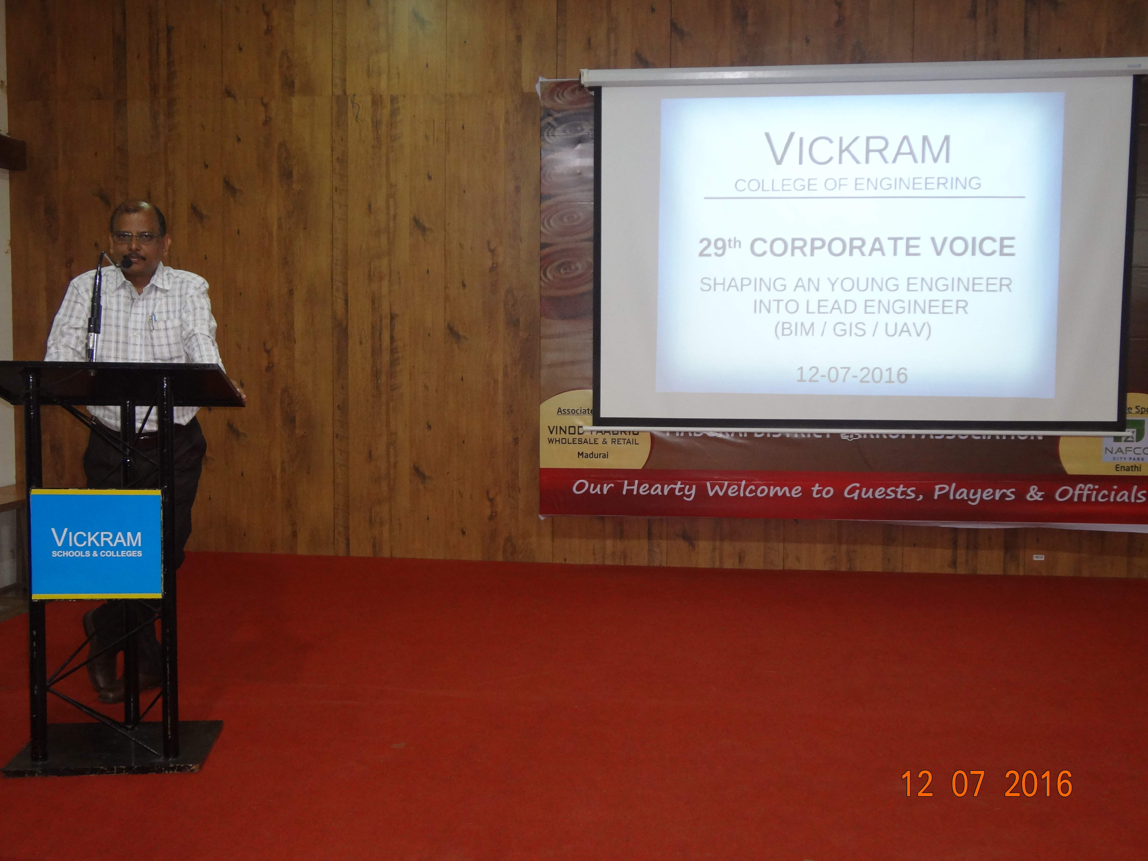
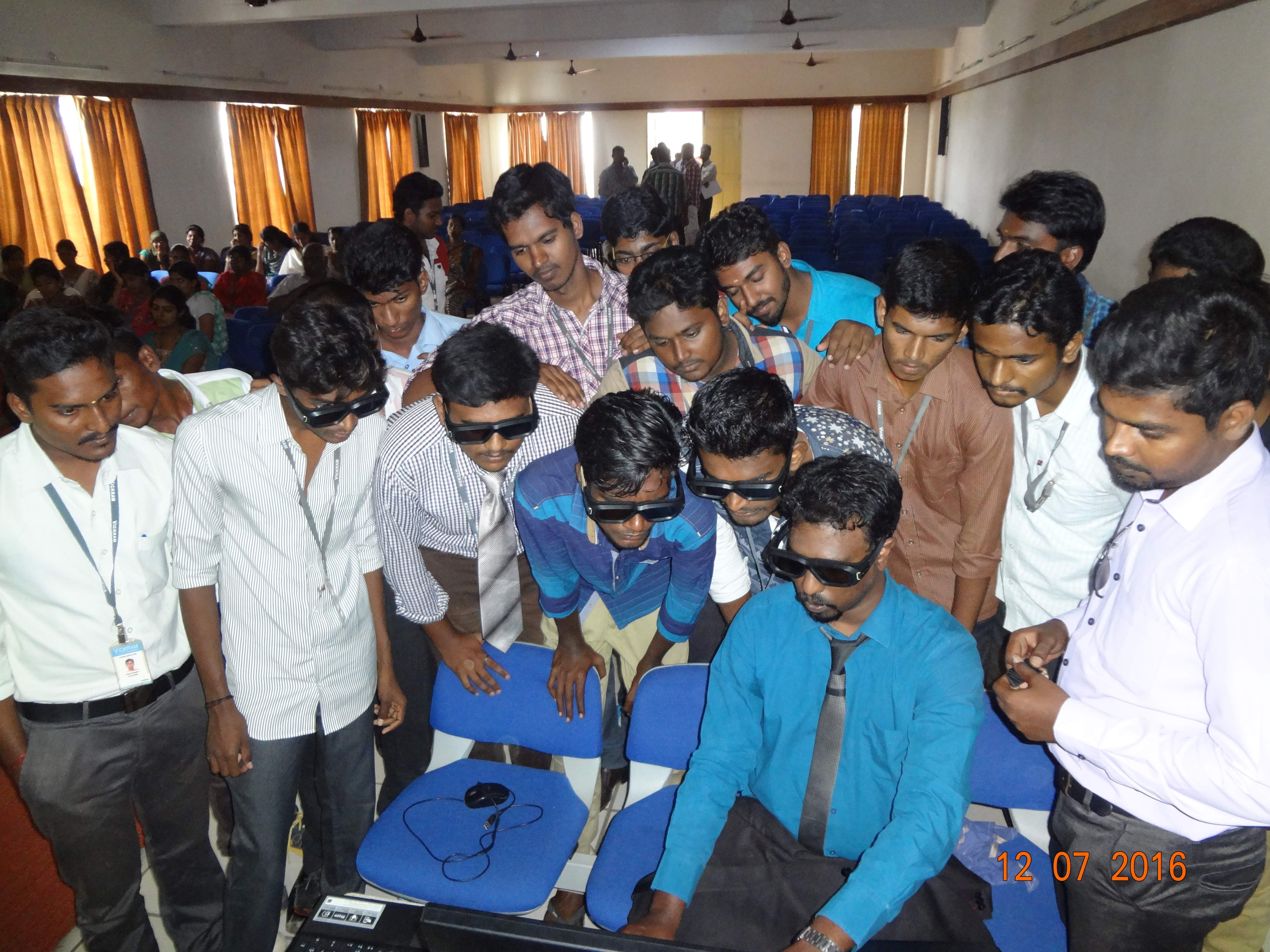
The 29th Corporate Voice Program was held in our campus on July 12th, 2016 for the benefit of final year students and the main focus of the program was to shape the young Engineers into lead Engineers. It was organised and arranged by Er.SR.Vijay Shrenivas, Managing Director, Vickram College of Engineering, Er.M.S.Vikram, Executive Director, Vickram College of Engineering and Dr.S.Nagarajan, Principal Vickram College of Engineering.Mr.A.Nagaraj, Placement Coordinator, Vickram College of Engineering gave the Welcome address and Prof.Jeyapaul Sathiasaran, Placement Officer, Vickram College of Engineering honoured the chief guest. Mr.L.Balaji,Chairman & Managing Director, Geomatiques Aero Thechnologies Pvt Ltd. commenced the session with his introductory remarks. He observed that an Engineer is primarily a problem solver.The chief guest,Mr. K. Chokkalingam, Geomatiques Aero Technologies Pvt Ltd gave the chief guest address on the topic Building Information Modelling (BIM). Building Information Modeling (BIM) is an intelligent 3D model-based process that equips architecture, engineering, and construction professionals with the insight and tools to more efficiently plan, design, construct, and manage buildings and infrastructure. He explained about Design, quantity surveying, cost estimation, contract awards and administration, project planning and execution, QA and QC of safety, pre commisioning and close out. He gave a brief lecture on Building Infromation Modelling (BIM) which is very essential to optimise the resource in lifecycle of the asset inorder to make better time and cost management. Then he went on to explain the working and the lifecycle of BIM and to be highlighted, he discussed about the difference between the traditional method and using BIM.
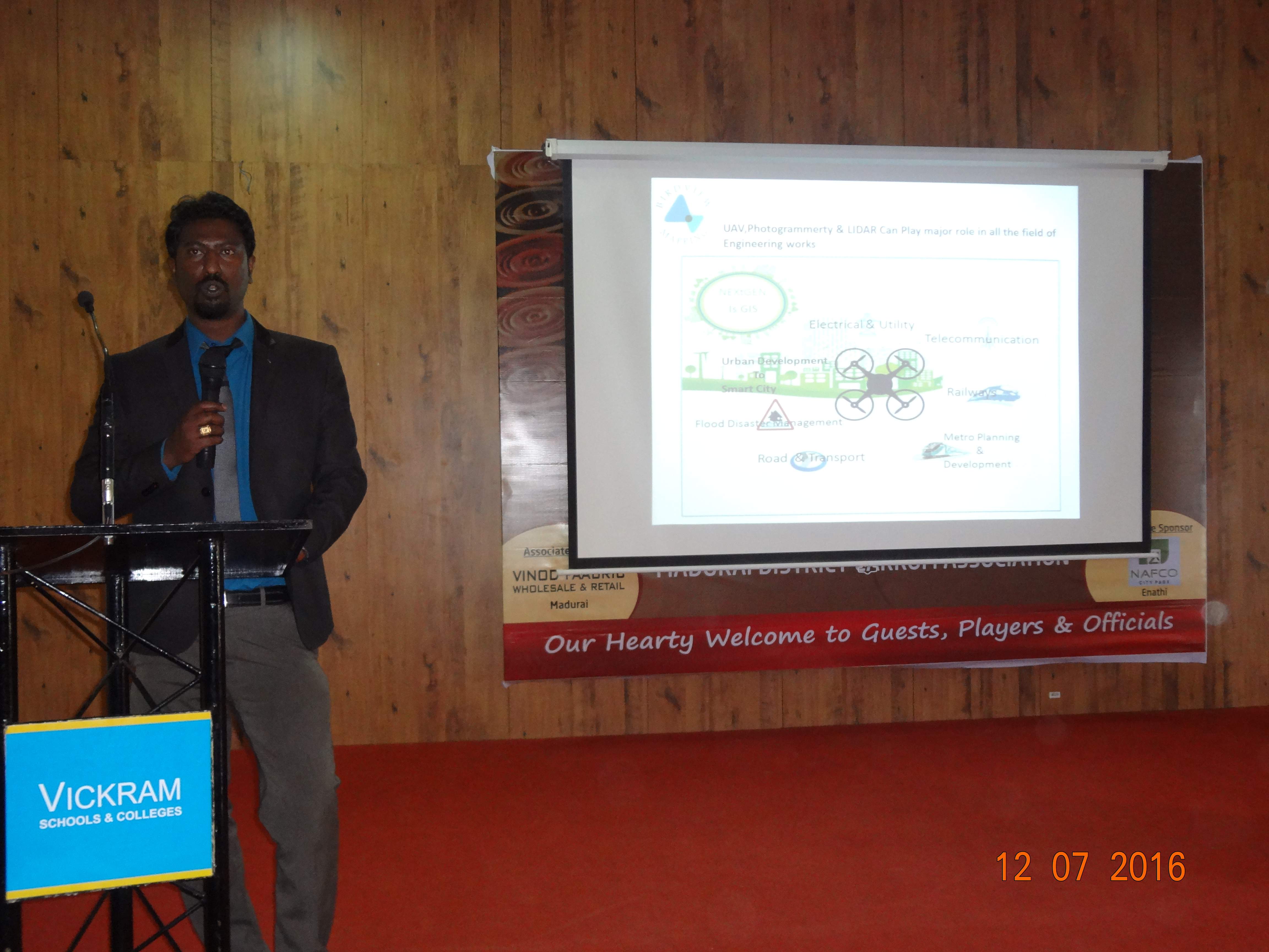
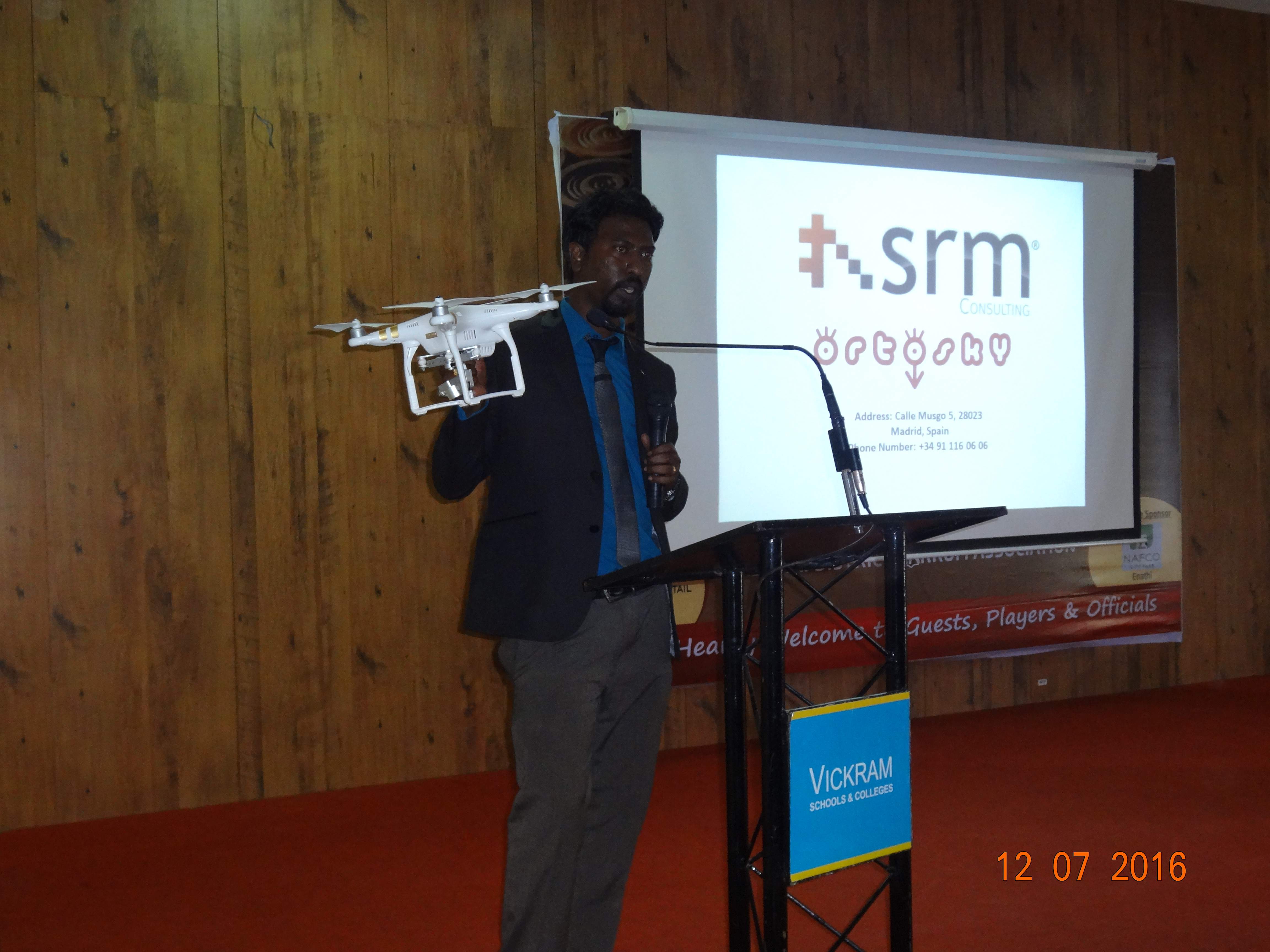
Mr. Ashwin Karunakaran, Founder & CEO, Bird view Mapping, Bangalore was an other chief guest, addressed on the topic GIS and UAV. He said that Unmanned Aerial Systems or “drone technology,” is a very hot topic amongst several disciplines, most of which are held together with the linchpin, GIS. They are one of the newest and most innovative tools to be considered for commercial use. They survey data in less time, using fewer natural resources than manned aircraft. He briefly explanined how UAV plays a major role in fields like electrical and utility, Telecommunication, Railways, Metro Planning and development and Flood disaster management. He also explained about ortoSky a new software developed by Services Research and Mapping Consulting (SRM)from a scratch with the premise of building a solid, stable, scalable, multipurpose, easy-to-use system oriented at connection with other systems. At the end of the session a demo was given to the each and every student to have a clear description about BIM, GIS and UAV. Then the program ended with the vote of thanks submitted by Ms. Mona Nikkila, Final year Civil Engineering.
More by baranidharan